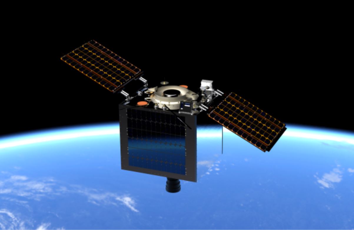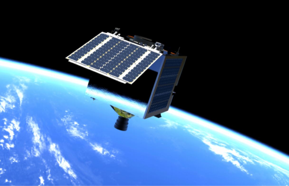
The Philippines’ space program is preparing for its next generation of Earth Observation satellites dubbed the Multispectral Unit for Land Assessment or MULA.
The MULA commercial-grade satellite will weigh 130 kilograms, the country’s biggest since the Philippines’ first-generation microsatellites DIWATA 1 & DIWATA 2 and cube satellites MAYA 1 & MAYA 2 were launched to space orbit.
The new satellite is expected to capture operational-quality images of approximately 100,000 km2 of land area daily.
Among the features of the MULA:
1. A TrueColor camera capable of capturing 5m resolution images with a wide swath width of 120km with 9 spectral bands that can be used for different environmental applications such as disaster management, land use, and land cover change mapping, crop monitoring, and forestry management.
TrueColour was derived from SSTL’s Disaster Monitoring Constellation (DMC) satellite.
Incorporating it into MULA’s 130-kg-mass category will be “a new benchmark for Earth Observation capabilities at this mass and price point,” said SSTL Managing Director, Phil Brownnett in a press release.
2. The satellite will also be equipped with two other payloads: Automatic Identification System (AIS) and Automatic Dependent Surveillance-Broadcast (ADS-B), which can be utilized for ship and aircraft detection and tracking.
The preliminary mission objectives of the satellite were determined based on a needs assessment conducted by the ASP Project of the Space Technology Applications Mastery, Innovation and Advancement (STAMINA4Space) Program with various stakeholders in the Philippines during the first quarter of 2020.
The Philippine Space Agency (PhilSA) reported on June 9, 2021, that the space technology project is implemented by the University of the Philippines Diliman (UPD) and the DOST-Advanced Science and Technology Institute (DOST-ASTI), in coordination with the PhilSA which will oversee its completion and expected launch by 2023, as well its management and operation thereafter.
It is being designed and manufactured together with British company Surrey Space Technology Ltd (SSTL). SSTL is one of the leading providers of small satellite development and know-how-transfer.

Department of Science and Technology (DOST) Secretary Fortunato de la Peña said in an earlier report that the satellite project is being developed as part of the science agency’s priority agenda under the emerging technologies sector of providing space technology applications to public services.
“With its capability to capture higher resolution images, we will be able to better monitor terrestrial ecosystems, as well as our land and marine resources to ensure both agricultural productivity and environmental integrity. In addition, we will also be able to assess environmental conditions to be more proactive in disaster management and mitigation,” said PhilSA Deputy Director-General and ASP Project Leader Dr. Gay Jane Perez.
“This is of course done not only to keep up with the global competitiveness but most importantly, it is so we can minimize our reliance on foreign technologies… so we can have our own scientists and engineers whose expertise in space science and technologies can be targeted and tailored specifically to the needs of our land and our people,” Dr. Perez added.
MULA Project Manager Engr. John Leur Labrador says that the planned multispectral imager calibrated for land assessment can be thought of as having our own “astronaut” in space.
“We can think of this spacecraft as a Filipino astronaut tasked to take images of our natural resources while monitoring aircraft and ship activity in our country at the same time,” he said. “We aim to significantly increase the land area captured by this satellite compared to our previous ones, effectively increasing the information gathered from the produced images.
“When we build satellites, we also aim to boost local industrial capabilities for producing high-reliability systems. These are differentiated by their ability to work well in difficult and harsh environments (such as space), and can be at the core of globally competitive products,” said PhilSA Director-General Dr. Joel Marciano, Jr.
“Furthermore, we use the satellites to generate images and other data, which we control and mobilize to support evidence-based policies for better governance, leading to productive communities and inclusive development. This is in line with PhilSA’s mission of value addition and creation from space that supports societal benefit and economic development.”
“The team also faced many challenges before we got to this point, made more difficult by the pandemic. We had to ensure that all documents are crafted according to what is required, that all compliance boxes are ticked off, and that proper coordination is made with various offices, which were often done at dizzying speeds like an orbiting satellite moving at 7km/s,” said DOST-ASTI Chief Science Research Specialist Engr. Alvin E. Retamar.
He likened the project’s beginnings to a space sci-fi journey, with the engineers’ deployment to the UK right before the Covid-19 travel restrictions being a real-life adventure in itself.
He also noted that this project is DOST-ASTI’s second time working with SSTL, with the first one being the capacity-sharing agreement signed by the two parties in 2019 for NovaSAR-1. “I must note that the familiarity should help us move things forward as we take some of the guesswork out for both parties. All these efforts and factors brought us to where the project is
now and we all look forward to its completion. Till that day, tasks remain, the road is still long, so may the odds be ever in our favor.”
The Philippine Space Agency was established on August 8, 2019, when the Republic Act 11363 or “Philippine Space Act” was signed into law. PhilSA builds on the foundation created by the development, launch, and operation of Earth Observation microsatellites Diwata-1 and Diwata-2, and CubeSats Maya-1, Maya-2 and the upcoming Maya satellites under STAMINA4Space (formerly “The Development of Philippine Scientific Earth Observation Microsatellite” or “PHL-Microsat” Program), together with Japanese university partners.
“STAMINA4Space, like all government-funded programs, has a termination date,” said STAMINA4Space Program Leader Dr. Maricor Soriano. “Developing MULA is a fitting finale that allows the transition of satellite development from an academic, research setting to an operational, PhilSA-led endeavor.”
SEND CHEERS in the comments below to the movers of the Philippines’ space program as they prepare for the next generation MULA Earth Observation satellite!
Good News Pilipinas is celebrating its 15th Anniversary in 2021 by giving away prizes! Subscribe to our Good News Pilipinas! TV YouTube channel and enter the raffle by sending us an email to editor@goodnewspilipinas.com


