Tag: disaster management
UP Resilience Institute’s Mahar Lagmay named Start Network Change Maker
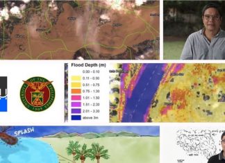
University of the Philippines professor Alfredo Mahar Lagmay, executive director of the UP Resilience Institute and the Nationwide Operational Assessment of Hazards (UP-NOAH), has been named a Start Network Change Maker for advocating science-based disaster management.
Tsunami readiness in the new normal pushed by DOST-PHIVOLCS campaign
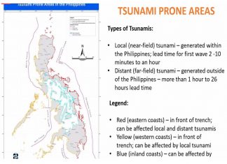
The Philippines' tsunami readiness under the new normal conditions is being pushed by the Department of Science and Technology - Philippine Institute of Volcanology and Seismology (DOST-PHIVOLCS) campaign.
Guide for When Strong Earthquakes Strike During Pandemic
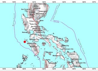
A magnitude 5.4 earthquake was recorded by the Philippine Institute of Volcanology and Seismology (PHIVOLCS-DOST) to have struck early Saturday morning in Occidental Mindoro and was felt in varying intensities in the nearby provinces of Batangas and Cavite, parts of Metro Manila, and as far as Bulacan, Pampanga, and Quezon.
JUST IN: Philippines’ earthquake-prone areas, natural hazards mapped in new Phivolcs web tool
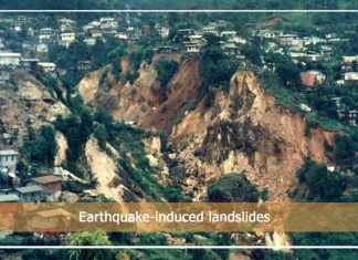
The Philippines' earthquake-prone areas and natural hazards have been mapped in the new Department of Science and Technology-Philippine Institute of Volcanology and Seismology (DOST-PHIVOLCS) web-based tool, GeoMapperPH, launched Thursday.
PHL, European Union partner for real-time disaster data using state-of-the art Copernicus Satellite
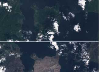
The Philippines' new partnership with the European Union’s (EU) Copernicus Programme will allow the country to access real-time data on disaster-stricken areas and improve the country's monitoring and mitigation capacities.
UP Cebu FireCheck hazards maps help Lapu Lapu City firemen
The University of the Philippines (UP) Cebu developed a FireCheck hazard mapping that will now help Lapu Lapu City firemen prevent uncontrolled widespread of fires especially in high-density communities.
University of the Philippines opens portal on Taal Volcano data, 1st in Asia to...
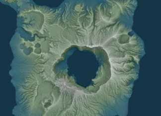
The University of the Philippines (UP) has allowed open access to its Light Detection and Ranging (LiDAR) portal on the Taal Volcano to help hasten rehabilitation efforts, marking the first time an Asian country has practiced such open data policy.
Model evacuation center completed in Fairview, Quezon City
A regional evacuation center has been completed in Quezon City and now stands as a model for other evacuation centers all over the country.
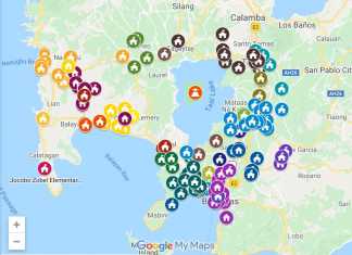
Google Philippines maps Taal Volcano victims evacuation centers to help find people and send...
Google Philippines has just released a consolidated map of centers with regards the Taal Volcano eruption for people who need to find shelter or want to send help.
EXCLUSIVE: Cavite scientists discover how squids can help in disaster management
Four scientists from De La Salle University - Dasmarinas (DLSU-D) in Cavite have discovered how native Philippine squid can help with disaster management tools...


